Contents
With an area exceeding 130,000 square kilometres, Nicaragua is the largest of the Central American countries, but only the fourth most populous. As of January 2020, the population of Nicaragua was estimated at slightly above 6,4 million people.
Where is Nicaragua?
Nicaragua is bordered by Honduras to the north and Costa Rica to the south. North-western Nicaragua is close to El Salvador, but the two countries do not share a border.
Nicaragua has two long coasts; one along the Caribbean Sea in the east and another one along the Pacific Ocean in the west.
What´s the capital of Nicaragua?
Managua is the capital and most populous city of Nicaragua. It is the third-largest city in Central America; after Tegucigalpa and Guatemala City.
In 2016, Managua had an estimated population of slightly above 1 million people within the city´s administrative limits. For the larger metropolitan area, the figure exceeded 1.4 million, including the residents of municipalities such as Ciudad Sandino and Ticuantepe.
Managua has been the capital of Nicaragua since 1852. Prior to that, the capital alternated between the cities León and Granada.
In 1972, Managua suffered a devastating earthquake that shattered much of the old city centre.
Ethnic groups
Data from 2011 show that back then, slightly less than 70% of the population identified as Mestizo. The largest minority groups were White (17%), Black (9%) and Indigenous (5%).
Geography
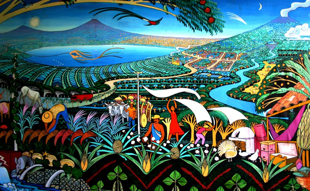
Nicaragua hosts most of the Central American volcanic arc and is also home to the two largest freshwater lakes in Central America. Hence, it is known as the Land of Lakes and Volcanoes. Nicaragua is also where you find the second-largest rainforest in all of the Americas; only the Amazon rainforest in South America is larger. Nearly 20% of Nicaragua are comprised of protected areas such as national parks, nature reserves and biological reserves.
Nicaragua features three distinct geographical regions:
- The Pacific lowlandsThese fertile lands are very important for the agricultural sector and a large chunk of the population reside within this region. When the Spanish colonists first arrived, the Pacific lowlands were the main focus for their settling efforts.The two largest fresh water lakes in Central America, Lake Nicaragua and Lake Managua, are both located on the Pacific side of Nicaragua. Around these lakes, and extending north-west along the rift valley of the Gulf of Fonseca, they found very fertile soil that had been enriched by ash from the nearby volcanoes.
- The Amerrisque Mountains (Cordillera de Amerrisque)This cordillera, which forms the north-central highlands of Nicaragua, is a part of the Central American Range which extends from Honduras in the north and into Costa Rica in the south.In Nicaragua, the cordillera separates Lake Nicaragua and the rest of the Pacific lowlands from the Caribbean lowlands. The northern parts of the range are dominated by pine and oak-clad. As we proceed into the central parts, nature changes into dry-to-rainy forests, and a lot of cattle ranches are located here. The southern part of the range, near the San Juan River, are mostly covered in thick jungle growth.
- The Caribbean lowlands The Caribbean lowlands are extensive in Nicaragua and contain several different ecoregions, including tropical rainforest, pine savannah, marshlands and mangrove swamps. The Caribbean lowlands are distinguished by a high degree of wilderness.One of the ecoregions found here is the Mosquitia-Nicaraguan Caribbean Coast mangroves ecoregion, which includes both the mainland coast and offshore islands such as Big Corn and Little Corn. It is home to many different types of mangrove, including red mangrove, black mangrove, white mangrove, and buttonwood.
Short facts about Nicaragua
Full name: República de Nicaragua (Republic of Nicaragua)
Official language: Spanish
Recognised regional languages: English, Miskito, Rama, Sumo, Miskito Coastal Creole, Garifuna, Rama Cay Creole
Motto: En Dios confiamos (In God We Trust)
Anthem: Salve at ti, Nicaragua (Hail to Thee, Nicaragua)
Independence from Spain: 1821
Government: Unitary dominant-party presidential constitutional republic
Area: 130,375 square kilometres
Population: 6,167,237 at the 2012 census
Demonym: Nicaraguan (formal), Pinolero / Pinolera (informal)
Capital and most populous city: Managua (coordinates: 12°6′N 86°14′W)
Currency: Córdoba (NIO)
Time zone: UTC−6 (CST)
Driving side: right
Calling code: +505
ISO 3166 code: NI
Internet TLD: .ni