Contents
Guatemala is the northernmost country in Central America and also the most populous one. In 2018, its estimated population was just below 17.3 million people, which is vastly more than the estimated 9.6 million inhabitants of Honduras – the second most populous Central American country – for that year.
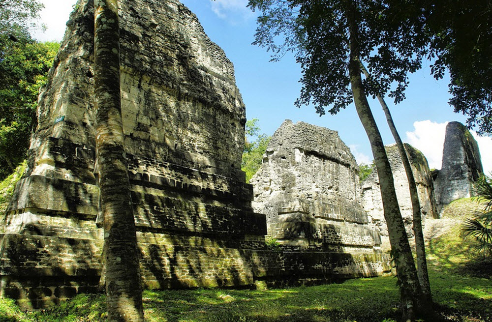
A long time ago, the territory of modern Guatemala contained the very centre of the Maya civilization, and a large portion of Guatemala’s current population identify as Maya. Twenty-one Mayan languages are still spoken in Guatemala, as well as the non-Mayan Amerindian languages Xinca and Garifuna.
Where is Guatemala?
Guatemala is located in the northern part of Central America. It borders Mexico to the north and west, Belize and the Caribbean Sea to the north-east, Honduras to the east, El Salvador to the south-east, and the Pacific Ocean to the south.
Guatemala’s Pacific coast is much longer than its Caribbean coast.
What´s the capital of Guatemala?
Ciudad de Guatemala (Guatemala City) is the capital and most populous city of Guatemala. In everyday speech, it is often referred to simply as Guate. Its full formal name is Nueva Guatemala de la Asunción (New Guatemala of the Assumption).
The Guatemala City metropolitan area is the most populated one in all of Central America. In 2018, an estimated 3.7 million people resided within the metropolitan area, although less than one million of them lived within the city proper.
Guatemala City is located in the Hermitage Valley (Valle de la Ermita) in the south-central part of the country.
Background
- Guatemala City developed on the site of the Mayan city Kaminaljuyu. Kaminaljuyu was primarily occupied from 1500 BC to AD 1200.
- The Spanish-colonial city of Guatemala was made the capital of the Kingdom of Guatemala in 1776.
- Guatemala City was where the declaration of independence of Central America from Spain took place (in 1821).
- Guatemala City was largely devastated by earthquakes in 1917-1918. The reconstruction following this resulted in a lot of the older architecture being replaced by 20th century-style buildings.
The etymology of the name Guatemala
The name Guatemala is derived from the Nahuatl word Cuauhtēmallān, which means “place of many trees”. This word is, in turn, a derivative of a K’iche’ Mayan word denoting “many trees”.
Ethnic groups
At the 2018 census, 56.01 percent of the population identified as Ladino, 41.66 percent as Maya and 1.77 percent as Xinca. Less than 0.2% identified as Afro-Guatemalan or Garifuna, respectively.
Geography
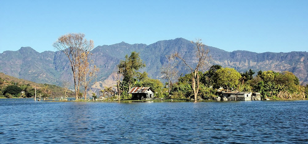
Guatemala is largely a mountainous country, although there is also the southern coastal lowlands and the large northern lowlands of the Petén department.
The two mountain chains that run from west to east divides the country into three major regions:
- The Pacific coast, which is south of the mountains
- The highlands
- The Petén region, which is north of the mountains
The Pacific coast and the highlands are where a majority of the population lives, and none of the major Guatemalan cities is located in the Petén region.
The highest point in Guatemala is Volcán Tajumulco, at an elevation of 4,220 meters. This is also the highest point in the whole of Central America.
Short facts about Guatemala
Formal name: República de Guatemala (Republic of Guatemala)
Motto: Libre Crezca Fecundo (Grow Free and Fertile)
Anthem: Himno Nacional de Guatemala ( National Anthem of Guatemala )
Independence from Spain: 1821
Official language: Spanish
Demonym: Guatemalan (formal), Chapín (informal)
Government: Unitary presidential republic
Area: 108,889 square kilometres
Population: 17.3 million (2018 estimate)
Capital: Guatemala City (coordinates: 14°38′N 90°30′W)
Currency: Quetzal (GTQ)
Time zone: UTC−6 (CST)
Driving side: right
Calling code: +502
ISO 3166 code: GT
Internet TLD: .gt