Contents
With an area exceeding 112,000 square kilometres, Honduras is the second-largest of the Central American countries; only Nicaragua is larger (130k sq km). Roughly 9.5 million people live in Honduras, according to a 2018 estimate.
The climate is hot and tropical in the lowlands and becomes progressively cooler as you ascend up the mountains. The central and southern parts of Honduras tend to be hotter and drier than the humid Caribbean Coast.
The nation´s economy relies heavily on agriculture, including the production of coffee, tropical fruit and sugar cane. Examples of notable natural resources are timber, gold, silver, copper, lead, zinc, iron ore, antimony, coal, fish, shrimp and hydropower. The textile industry is growing and provides important export income.
Honduras is experiencing serious problems with gang violence and has the world´s highest murder rate.
Where is Honduras?
Honduras is bordered to the west by Guatemala, to the south-west by El Salvador, and to the south-east by Nicaragua. Honduras has a long coast along the Caribbean Sea in the north, and a much smaller Pacific Ocean coast to the south (the Gulf of Fonseca, between El Salvador and Nicaragua).
What´s the capital of Honduras?
Tegucigalpa (Tegucigalpa, Municipio del Distrito Central) is the capital and most populous city of Honduras. It is nicknamed Tegus / Teguz.
Tegucigalpa is located in a valley in Honduras´ southern-central highland region, within the department of Francisco Morazán. Tegucigalpa and the city Comayagüela have largely merged into one urban area, as they are only separated by the Choluteca River.
Pre-colonial Honduras
Honduras was a part of the pre-Columbian Mesoamerican cultural area. The western parts of the territory were dominated by the Mayan civilization, which flourished here for hundreds of years.
Copán in western Honduras, not far from Guatemala, was the capital city of a major Mayan kingdom from the 5th to 9th centuries AD. This part of Honduras was the extreme south-east of the Mesoamerican cultural region, forming the frontier against the Isthmo-Colombian cultural region, and the Maya people living here were largely surrounded by non-Maya peoples. Copán, along with other lowland centres, fell during the conflagrations of the 9th century AD. (Descendants of these Mayas today live in western Honduras, where they are known as the Ch´orti´.)
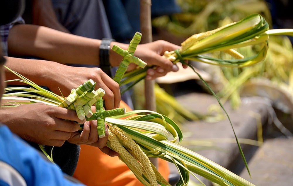
Ethnic groups
Roughly 90% of the population identify as Mestizo. The largest minority groups are Amerindian (7%), Afro-Honduran (2%) and White (1%).
Geography of Honduras
Honduras is a mountainous country, and the coastal lowlands are comparatively narrow. The densely populated lowland Sula valley is found in the north-western part of the country.
The north-east of Honduras is where you can visit the sparsely populated lowland jungle named La Mosquitia, where the Coco River forms the border to Nicaragua. The UNESCO world-heritage site Río Plátano Biosphere Reserve is located within La Mosquitia.
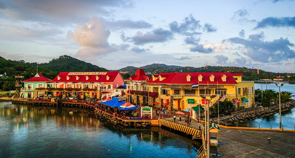
The famous Bay Islands (Islas de la Bahía), including Roatán, Guanaja and Útila, are located in the Caribbean Sea off the Honduran mainland. North of them, you´ll find the Swan Islands, and to the south, we have the Cayos Cochinos.
Short facts about Honduras
Full name: República de Honduras (Republic of Honduras)
Motto: Libre, Soberana e Independiente” (Free, Sovereign and Independent)
Official language: Spanish
Demonym: Honduran (formal), Catracho / Catracha (informal)
Capital: Tegucigalpa (coordinates: 14°6′N 87°13′W)
Independence from Spain: 1821
Government: Unitary presidential republic
Area: 112,492 km2 (43,433 sq mi)
Population: Over 9.5 million (2018 estimate)
Population density: Roughly 64 people per square kilometre
Currency: Lempira (HNL)
Time zone: UTC -6 (CST)
Driving side: right
Calling code: +504
ISO 3166 code: HN
Internet TLD: .hn